著名医師による解説が無料で読めます
すると翻訳の精度が向上します
土地利用および土地被覆(LULC)は、持続可能な天然資源管理の重要な要素であり、環境、生態系サービス、および陸面プロセスに急速な人為的LULCの変化に大きな影響があります。急速に変化する都市LULCの有意な不利な意味の1つは、都市のヒートアイランド効果をもたらす地表温度(LST)の上昇です。この研究では、1992年から2020年まで、インドの北西ヒマラヤにあるカシミール渓谷のスリナガル市で、LULCダイナミクスとLSTのリンクを理解し、Googleを使用したアーカイブ画像から派生したLSTを理解しているLandsat衛星画像の時系列を使用しました。アースエンジン(GEE)。さらに、LST、Urban Heat Island(UHI)、および生物物理学指数の関係、つまり正規化された植生指数(NDVI)と正規化された差分水指数(NDWI)の関係も分析されました。1992年から2020年までのLULCの変更検出分析により、建設面積は1992年の12%から2020年の40%に大幅に増加し、水域の範囲は1992年の6%から2020年の4%に減少したことが明らかになりました。プランテーションの下では、1992年の26%から2020年の17%に減少し、同時期に森林は4%から2%に減少しました。スリナガル市の都市のスプロールは、過去40年間で自然の土地カバーの枯渇、自然の排水の変更、緑と青の空間の損失をもたらしました。この調査では、1992年から2020年の間に市内の最大LSTが11°C増加したことが明らかになりました。同じ期間に、都市の最小LSTは5°C増加し、都市環境に対する都市化の影響を示しています。、さまざまな環境指数で観察された変化に反映されています。市内のUHIの影響は、1992年の13.03°Cから2020年の22.01°Cに増加した市内中心部での最大LSTが非常に顕著です。この調査結果は、都市計画者と意思決定者が開発において重要な知識源として役立つものとします。スリナガル市の持続可能な都市環境管理戦略。
土地利用および土地被覆(LULC)は、持続可能な天然資源管理の重要な要素であり、環境、生態系サービス、および陸面プロセスに急速な人為的LULCの変化に大きな影響があります。急速に変化する都市LULCの有意な不利な意味の1つは、都市のヒートアイランド効果をもたらす地表温度(LST)の上昇です。この研究では、1992年から2020年まで、インドの北西ヒマラヤにあるカシミール渓谷のスリナガル市で、LULCダイナミクスとLSTのリンクを理解し、Googleを使用したアーカイブ画像から派生したLSTを理解しているLandsat衛星画像の時系列を使用しました。アースエンジン(GEE)。さらに、LST、Urban Heat Island(UHI)、および生物物理学指数の関係、つまり正規化された植生指数(NDVI)と正規化された差分水指数(NDWI)の関係も分析されました。1992年から2020年までのLULCの変更検出分析により、建設面積は1992年の12%から2020年の40%に大幅に増加し、水域の範囲は1992年の6%から2020年の4%に減少したことが明らかになりました。プランテーションの下では、1992年の26%から2020年の17%に減少し、同時期に森林は4%から2%に減少しました。スリナガル市の都市のスプロールは、過去40年間で自然の土地カバーの枯渇、自然の排水の変更、緑と青の空間の損失をもたらしました。この調査では、1992年から2020年の間に市内の最大LSTが11°C増加したことが明らかになりました。同じ期間に、都市の最小LSTは5°C増加し、都市環境に対する都市化の影響を示しています。、さまざまな環境指数で観察された変化に反映されています。市内のUHIの影響は、1992年の13.03°Cから2020年の22.01°Cに増加した市内中心部での最大LSTが非常に顕著です。この調査結果は、都市計画者と意思決定者が開発において重要な知識源として役立つものとします。スリナガル市の持続可能な都市環境管理戦略。
Land-use and land-cover (LULC) is an important component for sustainable natural resource management, and there are considerable impacts of the rapid anthropogenic LULC changes on environment, ecosystem services, and land surface processes. One of the significant adverse implications of the rapidly changing urban LULC is the increase in the Land Surface Temperature (LST) resulting in the urban heat island effect. In this study, we used a time series of Landsat satellite images from 1992 to 2020 in the Srinagar city of the Kashmir valley, North-western Himalaya, India to understand the linkages between LULC dynamics and LST, derived from the archived images using the Google Earth Engine (GEE). Furthermore, the relationship between LST, urban heat island (UHI), and biophysical indices, i.e., Normalized Difference Vegetation Index (NDVI) and Normalized Difference Water Index (NDWI), was also analysed. LULC change detection analysis from 1992 to 2020 revealed that the built-up area has increased significantly from 12% in 1992 to 40% in 2020, while the extent of water bodies has decreased from 6% in 1992 to 4% in 2020. The area under plantations has decreased from 26% in 1992 to 17% in 2020, and forests have decreased from 4 to 2% during the same period. Urban sprawl of Srinagar city has resulted in the depletion of natural land covers, modification of natural drainage, and loss of green and blue spaces over the past four decades. The study revealed that the maximum LST in the city has increased by 11°C between 1992 and 2020. During the same period of time, the minimum LST in the city has increased by 5°C, indicating the impact of urbanization on the city environment, which is reflected by the observed changes in various environmental indices. UHI impact in the city is quite evident with the maximum LST at the city centre having increased from 13.03°C in 1992 to 22.01°C in 2020. The findings shall serve as a vital source of knowledge for urban planners and decision-makers in developing sustainable urban environmental management strategies for Srinagar city.
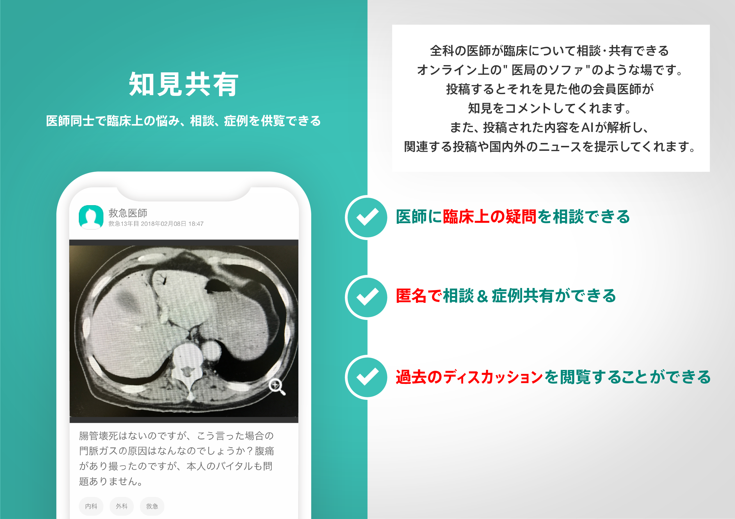
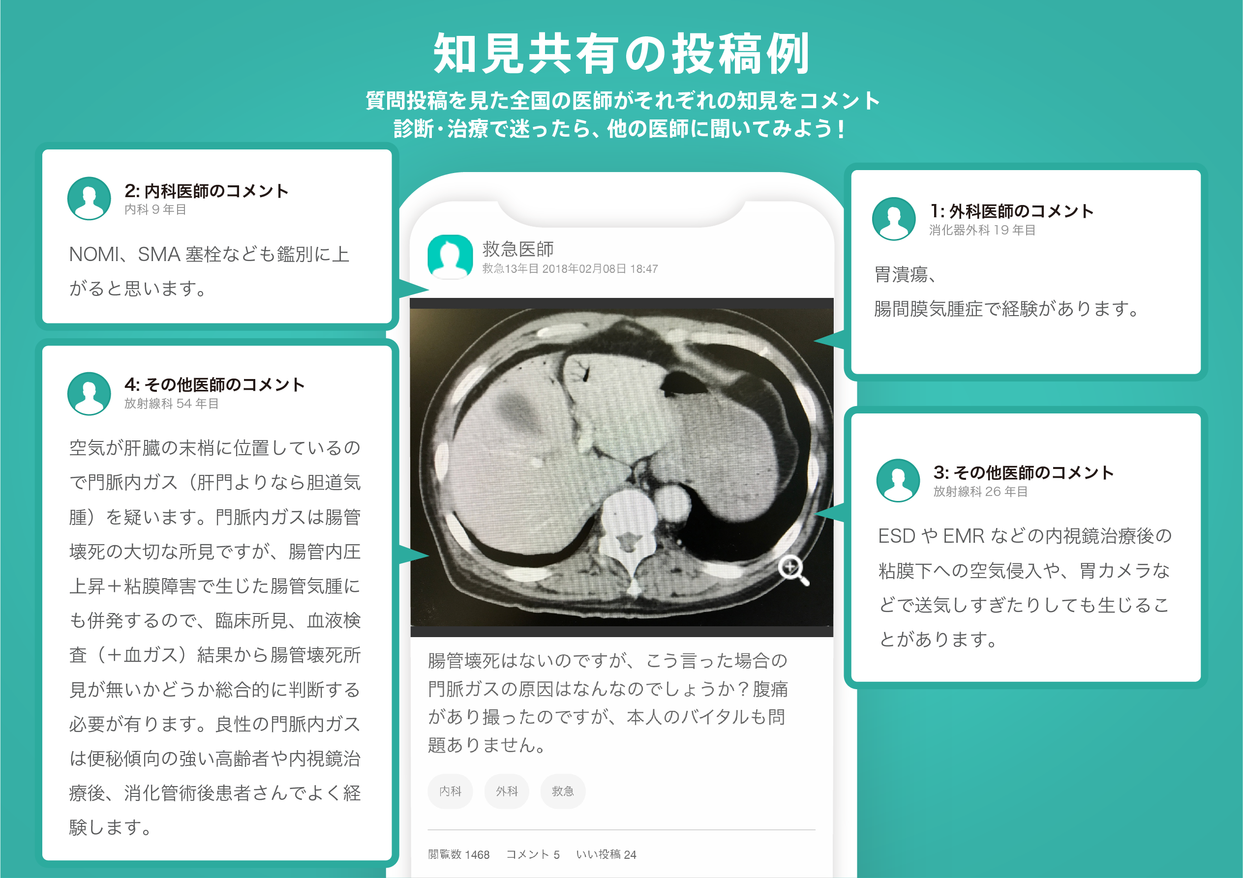
医師のための臨床サポートサービス
ヒポクラ x マイナビのご紹介


無料会員登録していただくと、さらに便利で効率的な検索が可能になります。